
Wendy Keller · 10 October 2026
Uncovering Procedural Terrain Generation Techniques Behind Unique Parcel Creation in Digital Property Platforms
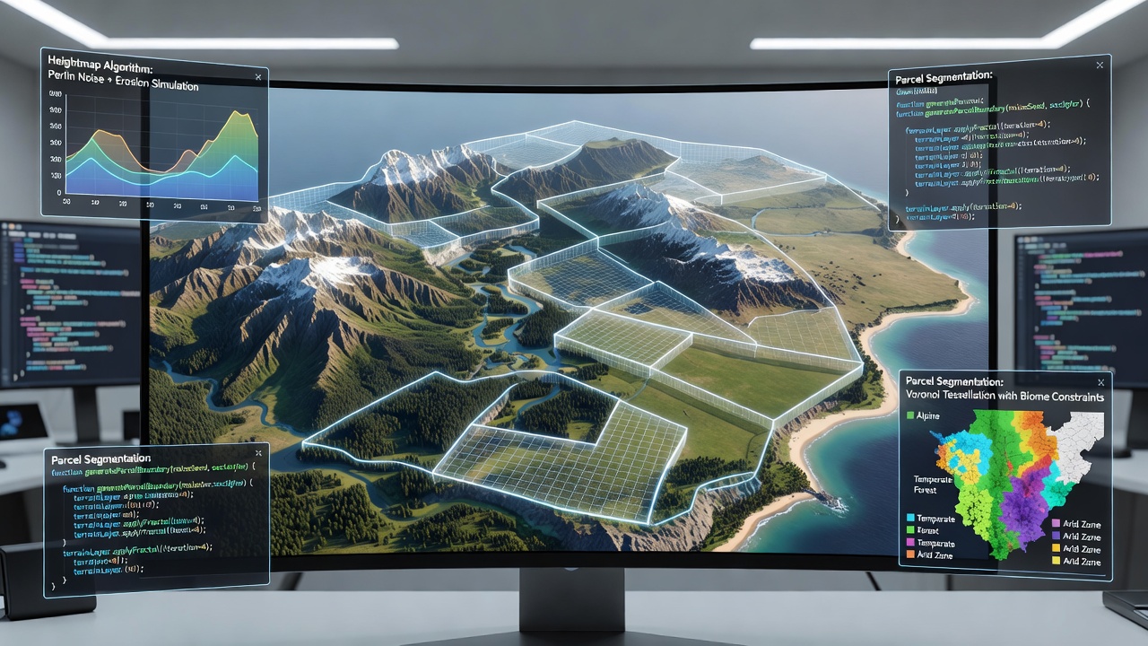
Procedural terrain generation forms the backbone of parcel creation across numerous digital property platforms where algorithms produce distinct land features without manual design for each unit. These systems rely on mathematical functions that simulate natural landscapes and ensure every parcel receives unique characteristics while maintaining consistency within larger virtual environments. Developers integrate noise functions, fractal methods, and spatial partitioning to control elevation, vegetation distribution, and resource placement.
Core Algorithms Driving Parcel Differentiation
Perlin noise serves as a foundational technique that many platforms employ to create smooth gradients of terrain height and texture. Researchers at institutions in the United States have documented how layered octaves of this noise produce realistic hills, valleys, and flat zones that translate directly into marketable parcels. Platforms combine multiple noise layers with different frequencies and amplitudes to avoid repetitive patterns that could reduce perceived value of individual land units.
Voronoi diagrams complement these noise-based approaches by defining boundaries between distinct regions such as biomes or ownership zones. The resulting cells create natural-looking divisions where each parcel occupies a unique spatial footprint. Data from industry reports indicate that platforms using Voronoi integration report higher user engagement because boundaries align with organic land formations rather than strict grid lines.
Integration with Platform Economics and User Experience
Digital property platforms link procedural output to economic models where rarity of terrain features influences parcel pricing and trading activity. Algorithms adjust parameters such as water body frequency or mineral deposit density based on supply targets set by platform operators. This dynamic calibration occurs through seed values that remain constant after initial generation yet allow controlled variation across different server instances or expansion phases.
Those who study these systems note that fractal Brownian motion adds finer detail to base noise layers, enabling micro-variations in surface texture that affect visual appeal and functional attributes like buildable area. In October 2026 several major platforms updated their generation pipelines to incorporate real-time climate simulation layers that respond to user activity, further differentiating parcels that share similar macro features.
Canadian research groups have examined how these combined techniques reduce content creation costs while preserving the scarcity illusion essential to virtual real estate markets. Their findings show that procedural systems can generate thousands of unique parcels per hour once parameters receive calibration, a rate far exceeding manual design pipelines.
Technical Challenges and Mitigation Strategies
Ensuring seamless transitions between adjacent parcels presents ongoing difficulties because mismatched terrain edges can break immersion. Developers address this through blending functions that interpolate height and texture values across parcel borders. European Union funded projects have explored GPU-accelerated generation methods that allow on-demand creation when users acquire new land, minimizing storage requirements for pre-generated maps.
Seed management remains critical because identical seeds produce identical terrain, undermining uniqueness claims. Platforms therefore combine user-specific identifiers with global seeds to guarantee differentiation even when base parameters stay the same. Observers note that this hybrid seeding approach has become standard practice following documented cases where duplicate parcels appeared in early implementations.
Emerging Developments in 2026
By October 2026 several platforms began experimenting with machine learning models trained on real-world satellite data to guide procedural parameters. These models refine noise distribution to match observed geographic patterns from regions such as the Australian outback or Scandinavian fjords. The result is terrain that feels grounded in physical references without requiring direct replication of copyrighted landscapes.
Academic papers published through Australian universities detail performance benchmarks showing that hybrid CPU-GPU pipelines now handle continent-scale maps within acceptable latency thresholds for live platforms. Such advances support larger contiguous virtual territories while preserving the unique parcel identity that drives secondary market activity.
Conclusion
Procedural terrain generation continues to evolve as digital property platforms scale and user expectations for variety increase. The combination of established noise functions, spatial partitioning, and newer adaptive techniques produces parcels that remain distinct yet computationally efficient. Continued refinement of these methods supports sustainable growth in virtual land economies where uniqueness underpins both utility and exchange value.